MTD Geospatial Data Center
The geospatial data center of La Maison de la Teledetection delivers remote sensing based products over France Mainland and southern countries (e.g. Guyana). Its main research thematics are Forest, Soil, and Agricultural crops. Governance is INRAE (French Research Institute in Agriculture, Food and Environment), and IRD (French Institute of Development). The center has been developed in a partnership between INRAE, IRD and University of Montpellier.
The infrastructure relies on STAC (SpatioTemporal Asset Catalog) to organize and browse geospatial information.
Find and manipulate geospatial data on the fly without downloading anything.
Compliant with the Open Geospatial Consortium standards.
Compliant with authentication system of Data-Terra.
Featured pages
Latest posts
Crawling LidarHD tiles
by Rémi Cresson

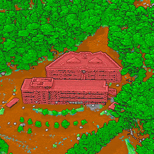
In this post we show how to search and visualize IGN's LidarHD tiles using the STAC browser in a navigator.
THEIA-MTD Center for Data and Services (CDS)
by Rémi Cresson
The THEIA-MTD CDS is built on the MTD geospatial data infrastructure. Discover it!
CEOS demonstrator
by Sandra Luque, Jean Bapriste Feret
Committee on Earth Observation Satellites demonstrator over Costa-Rica


